Looking south-east from Stone Lane, Common Platt
Introduction
The photograph on this page of Looking south-east from Stone Lane, Common Platt by Brian Robert Marshall as part of the Geograph project.
The Geograph project started in 2005 with the aim of publishing, organising and preserving representative images for every square kilometre of Great Britain, Ireland and the Isle of Man.

There are currently over 7.5m images from over 14,400 individuals and you can help contribute to the project by visiting https://www.geograph.org.uk
Looking south-east from Stone Lane, Common Platt
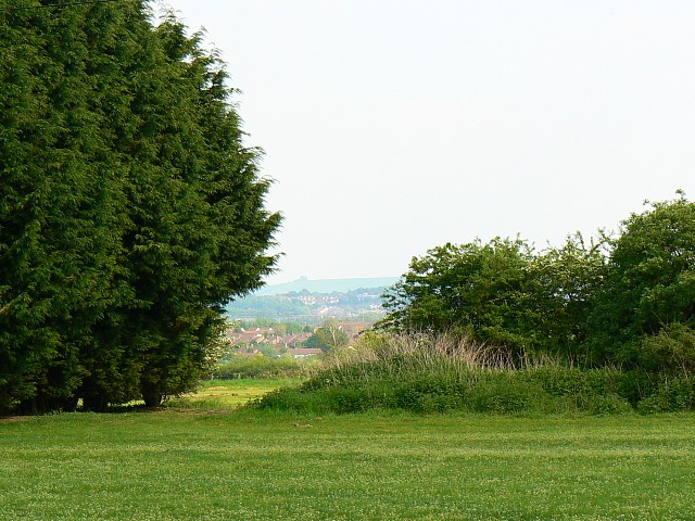
Image: © Brian Robert Marshall Taken: 11 May 2008
Stone Lane runs east-west between Common Platt and Lydiard Millicent. Behind the viewpoint is a garden centre. Visible on the skyline is the clump of beeches on top of Liddington Hill, 13 kilometres to the south-east http://www.geograph.org.uk/photo/432552
Images are licensed for reuse under creativecommons.org/licenses/by-sa/2.0
Image Location


Leaflet Map data © OpenStreetMap
Latitude
51.577183
Longitude
-1.853915