Bridleway near Scalford Hall
Introduction
The photograph on this page of Bridleway near Scalford Hall by Kate Jewell as part of the Geograph project.
The Geograph project started in 2005 with the aim of publishing, organising and preserving representative images for every square kilometre of Great Britain, Ireland and the Isle of Man.

There are currently over 7.5m images from over 14,400 individuals and you can help contribute to the project by visiting https://www.geograph.org.uk
Bridleway near Scalford Hall
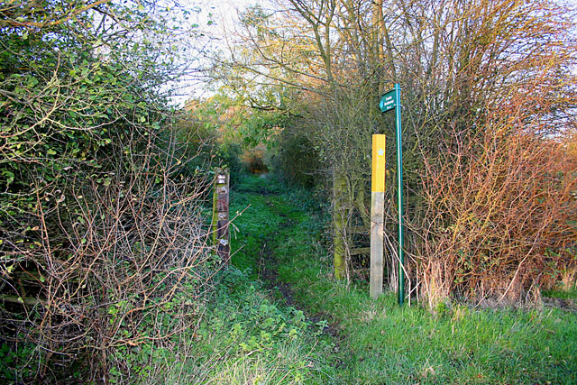
Image: © Kate Jewell Taken: 16 Nov 2005
Following an old route to Hose Image the bridleway is very overgrown in this square.
Images are licensed for reuse under creativecommons.org/licenses/by-sa/2.0
Image Location


Leaflet Map data © OpenStreetMap
Latitude
52.802195
Longitude
-0.894608