River Leven, Great Ayton
Introduction
The photograph on this page of River Leven, Great Ayton by Mick Garratt as part of the Geograph project.
The Geograph project started in 2005 with the aim of publishing, organising and preserving representative images for every square kilometre of Great Britain, Ireland and the Isle of Man.

There are currently over 7.5m images from over 14,400 individuals and you can help contribute to the project by visiting https://www.geograph.org.uk
River Leven, Great Ayton
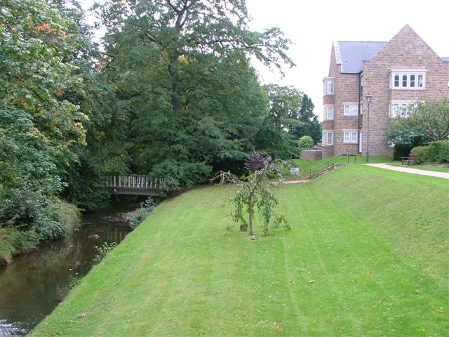
Image: © Mick Garratt Taken: 2 Oct 2005
A complementary photo to Image] taken of the old school in 1998. The bridge can be seen on both. The school buildings have now been demolished and the ground redeveloped as private housing. This was actually the site of the school swimming baths and before that, in the 19c, Martin's tannery occupied the site.
Images are licensed for reuse under creativecommons.org/licenses/by-sa/2.0
Image Location


Leaflet Map data © OpenStreetMap
Latitude
54.486728
Longitude
-1.132464