The Rubbing House
Introduction
The photograph on this page of The Rubbing House by Hugh Craddock as part of the Geograph project.
The Geograph project started in 2005 with the aim of publishing, organising and preserving representative images for every square kilometre of Great Britain, Ireland and the Isle of Man.

There are currently over 7.5m images from over 14,400 individuals and you can help contribute to the project by visiting https://www.geograph.org.uk
The Rubbing House
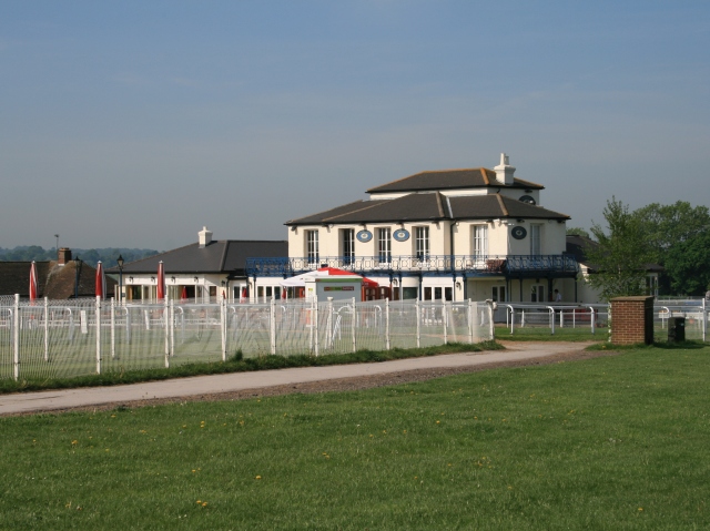
Image: © Hugh Craddock Taken: 11 May 2008
One of three pubs overlooking the racecourse, the Rubbing House (www.rubbinghouse.com ) was built around 1866 and commands a superb view of the finishing straight and The Hill. Seen here from the other side of the finishing straight, there is a narrow bridle crossing (opposite the brick cabinet to right of photo) which is closed during racing.
Images are licensed for reuse under creativecommons.org/licenses/by-sa/2.0
Image Location
Latitude
51.313102
Longitude
-0.258243