Mellers Primary School
Introduction
The photograph on this page of Mellers Primary School by Joan Laws as part of the Geograph project.
The Geograph project started in 2005 with the aim of publishing, organising and preserving representative images for every square kilometre of Great Britain, Ireland and the Isle of Man.

There are currently over 7.5m images from over 14,400 individuals and you can help contribute to the project by visiting https://www.geograph.org.uk
Mellers Primary School
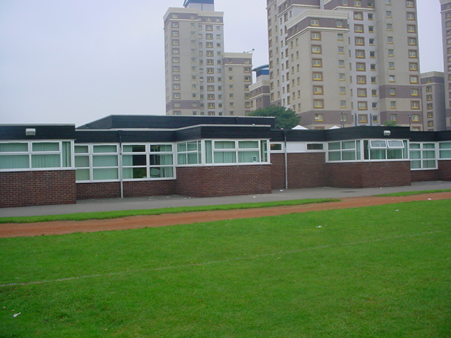
Image: © Joan Laws Taken: 6 Oct 2005
Mellers school on Norton Street showing the flats behind the school. The field shown is about to be surveyed because it was built over demolished back to back houses and the cellars are collapsing.
Images are licensed for reuse under creativecommons.org/licenses/by-sa/2.0
Image Location
Latitude
52.958987
Longitude
-1.172273