Rail Bridge
Introduction
The photograph on this page of Rail Bridge by Bob Jenkins as part of the Geograph project.
The Geograph project started in 2005 with the aim of publishing, organising and preserving representative images for every square kilometre of Great Britain, Ireland and the Isle of Man.

There are currently over 7.5m images from over 14,400 individuals and you can help contribute to the project by visiting https://www.geograph.org.uk
Rail Bridge
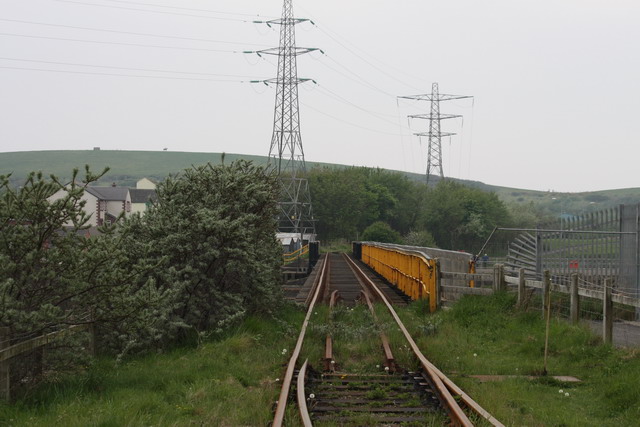
Image: © Bob Jenkins Taken: 10 May 2008
Crossing the River Derwent, this line is now disused, as the steel works it serviced are closing. A narrow foot/cycle way has been created to the right, forming part of the C2C cycleway. This bridge was badly damaged during the floods of 2009, and is currently closed to all users. It is due to be demolished and replaced by a foot and cycle bridge.
Images are licensed for reuse under creativecommons.org/licenses/by-sa/2.0
Image Location
Latitude
54.647795
Longitude
-3.563656