Cottages at Tutwell
Introduction
The photograph on this page of Cottages at Tutwell by Derek Harper as part of the Geograph project.
The Geograph project started in 2005 with the aim of publishing, organising and preserving representative images for every square kilometre of Great Britain, Ireland and the Isle of Man.

There are currently over 7.5m images from over 14,400 individuals and you can help contribute to the project by visiting https://www.geograph.org.uk
Cottages at Tutwell
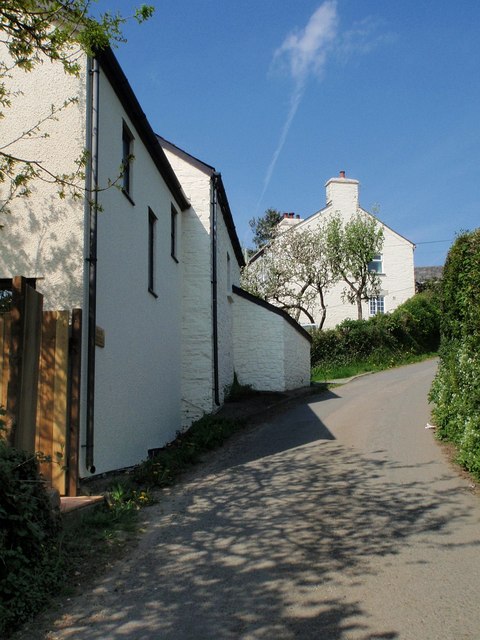
Image: © Derek Harper Taken: 8 May 2008
The houses on the northern arm of the V-shaped lane that forms the hamlet of Tutwell are exclusively on the southern side of the lane, seen here looking up the steep hill that is the western slope of the Tamar valley.
Images are licensed for reuse under creativecommons.org/licenses/by-sa/2.0
Image Location


Leaflet Map data © OpenStreetMap
Latitude
50.560088
Longitude
-4.273998