Newton of Auchingoul
Introduction
The photograph on this page of Newton of Auchingoul by Anne Burgess as part of the Geograph project.
The Geograph project started in 2005 with the aim of publishing, organising and preserving representative images for every square kilometre of Great Britain, Ireland and the Isle of Man.

There are currently over 7.5m images from over 14,400 individuals and you can help contribute to the project by visiting https://www.geograph.org.uk
Newton of Auchingoul
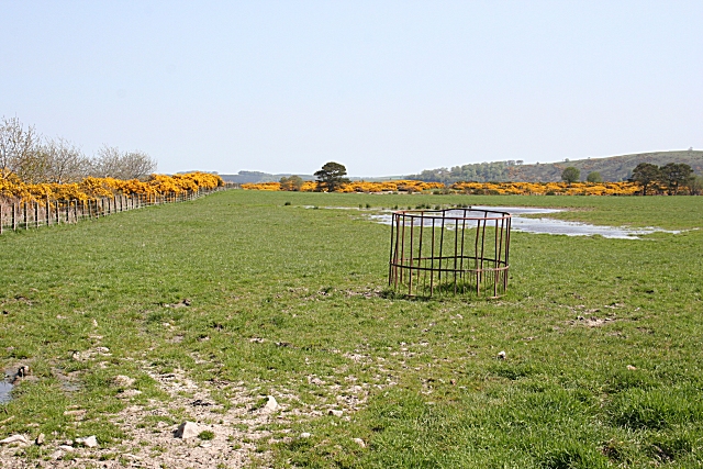
Image: © Anne Burgess Taken: 9 May 2008
This must be very slow-draining land, because it is still wet after several dry days in spite of being at the top of the hill.
Images are licensed for reuse under creativecommons.org/licenses/by-sa/2.0
Image Location
Latitude
57.517449
Longitude
-2.647861