Ruined Cottage
Introduction
The photograph on this page of Ruined Cottage by Anne Burgess as part of the Geograph project.
The Geograph project started in 2005 with the aim of publishing, organising and preserving representative images for every square kilometre of Great Britain, Ireland and the Isle of Man.

There are currently over 7.5m images from over 14,400 individuals and you can help contribute to the project by visiting https://www.geograph.org.uk
Ruined Cottage
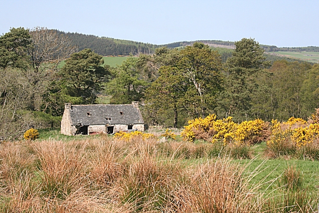
Image: © Anne Burgess Taken: 9 May 2008
This cottage is on the side of the Hill of Craigmancy where it slopes steeply towards the River Deveron. It doesn't seem to have a name, even on the Victorian six-inch map. This is another place where the maps show roads, but the road down to it has degenerated into a muddy morass, and I failed to find the road which is shown going north-south on this side of the cottage.
Images are licensed for reuse under creativecommons.org/licenses/by-sa/2.0
Image Location


Leaflet Map data © OpenStreetMap
Latitude
57.515445
Longitude
-2.687054