Sand martin burrows
Introduction
The photograph on this page of Sand martin burrows by Stephen McCulloch as part of the Geograph project.
The Geograph project started in 2005 with the aim of publishing, organising and preserving representative images for every square kilometre of Great Britain, Ireland and the Isle of Man.

There are currently over 7.5m images from over 14,400 individuals and you can help contribute to the project by visiting https://www.geograph.org.uk
Sand martin burrows
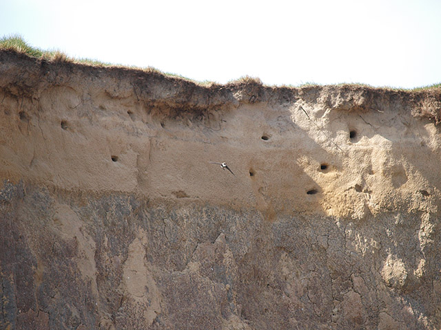
Image: © Stephen McCulloch Taken: 9 May 2008
The sandy layer at the top of the cliffs has been colonised by sand martins
Images are licensed for reuse under creativecommons.org/licenses/by-sa/2.0
Image Location


Leaflet Map data © OpenStreetMap
Latitude
54.606441
Longitude
-1.037805