Lot's Ait and Dahlia Bridge
Introduction
The photograph on this page of Lot's Ait and Dahlia Bridge by David Rickmann as part of the Geograph project.
The Geograph project started in 2005 with the aim of publishing, organising and preserving representative images for every square kilometre of Great Britain, Ireland and the Isle of Man.

There are currently over 7.5m images from over 14,400 individuals and you can help contribute to the project by visiting https://www.geograph.org.uk
Lot's Ait and Dahlia Bridge
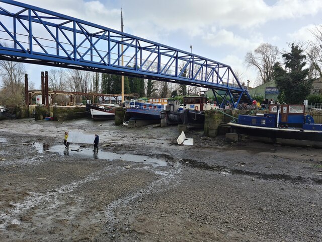
Image: © David Rickmann Taken: 18 Feb 2022
Lot's Ait at low tide. Two people retrieve a boat roof under Dahlia Bridge.
Images are licensed for reuse under creativecommons.org/licenses/by-sa/2.0
Image Location


Leaflet Map data © OpenStreetMap
Latitude
51.484748
Longitude
-0.299672