Approaching M3 junction 12
Introduction
The photograph on this page of Approaching M3 junction 12 by Peter Facey as part of the Geograph project.
The Geograph project started in 2005 with the aim of publishing, organising and preserving representative images for every square kilometre of Great Britain, Ireland and the Isle of Man.

There are currently over 7.5m images from over 14,400 individuals and you can help contribute to the project by visiting https://www.geograph.org.uk
Approaching M3 junction 12
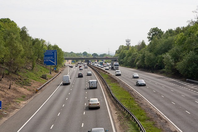
Image: © Peter Facey Taken: 9 May 2008
Seen from bridge carrying private road to Chamberlayne Estate. The bridge beyond the blue sign carries Winchester Road; junction 12 itself is beyond and not fully visible in this picture.
Images are licensed for reuse under creativecommons.org/licenses/by-sa/2.0
Image Location
Latitude
50.997426
Longitude
-1.357415