Moat at Dam Close
Introduction
The photograph on this page of Moat at Dam Close by Anne Burgess as part of the Geograph project.
The Geograph project started in 2005 with the aim of publishing, organising and preserving representative images for every square kilometre of Great Britain, Ireland and the Isle of Man.

There are currently over 7.5m images from over 14,400 individuals and you can help contribute to the project by visiting https://www.geograph.org.uk
Moat at Dam Close
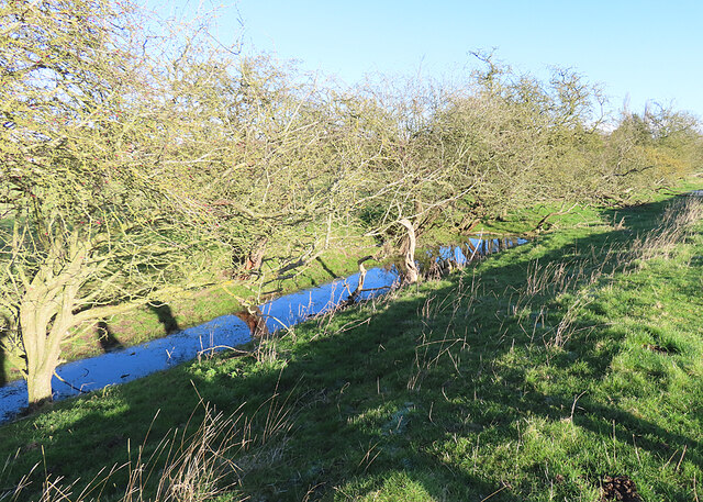
Image: © Anne Burgess Taken: 2 Jan 2025
This is part of the moat alongside Dam Close, a scheduled ancient monument consisting of an earth bank enclosing an area of level ground and flanked by a moat. There have been various theories as to why it was built, but the latest thinking is that it is a mediaeval market place.
Images are licensed for reuse under creativecommons.org/licenses/by-sa/2.0
Image Location


Leaflet Map data © OpenStreetMap
Latitude
53.222684
Longitude
0.198299