Hiltingbury Lakes
Introduction
The photograph on this page of Hiltingbury Lakes by Peter Facey as part of the Geograph project.
The Geograph project started in 2005 with the aim of publishing, organising and preserving representative images for every square kilometre of Great Britain, Ireland and the Isle of Man.

There are currently over 7.5m images from over 14,400 individuals and you can help contribute to the project by visiting https://www.geograph.org.uk
Hiltingbury Lakes
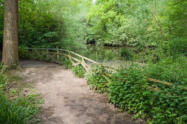
Image: © Peter Facey Taken: 9 May 2008
This is the western side of one of the smaller lakes. It is very overgrown and not much can be seen. Map ref might be slightly wrong.
Images are licensed for reuse under creativecommons.org/licenses/by-sa/2.0
Image Location
Latitude
50.991224
Longitude
-1.374456