Alperton: Mount Pleasant
Introduction
The photograph on this page of Alperton: Mount Pleasant by Nigel Cox as part of the Geograph project.
The Geograph project started in 2005 with the aim of publishing, organising and preserving representative images for every square kilometre of Great Britain, Ireland and the Isle of Man.

There are currently over 7.5m images from over 14,400 individuals and you can help contribute to the project by visiting https://www.geograph.org.uk
Alperton: Mount Pleasant
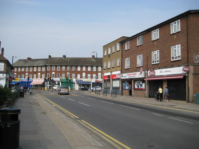
Image: © Nigel Cox Taken: 5 May 2008
Viewed looking towards the junction of Mount Pleasant with the A4089 Ealing Road, the most remarkable thing here is the illustration of the changing demographics. The middle shop on the right is a shop selling Polish goods. The text on the fascia board reads 'Polski sklep' and 'Dobre bo polskie', which, using an on-line translator gives 'Polish store' and 'Good because Polish'.
Images are licensed for reuse under creativecommons.org/licenses/by-sa/2.0
Image Location
Latitude
51.541631
Longitude
-0.296976