2008 : Green Lane near Hilperton
Introduction
The photograph on this page of 2008 : Green Lane near Hilperton by Maurice Pullin as part of the Geograph project.
The Geograph project started in 2005 with the aim of publishing, organising and preserving representative images for every square kilometre of Great Britain, Ireland and the Isle of Man.

There are currently over 7.5m images from over 14,400 individuals and you can help contribute to the project by visiting https://www.geograph.org.uk
2008 : Green Lane near Hilperton
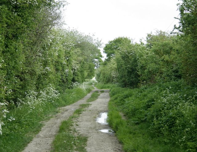
Image: © Maurice Pullin Taken: 9 May 2008
This well named lane east of Trowbridge is being overcome by spreading housing developments.
Images are licensed for reuse under creativecommons.org/licenses/by-sa/2.0
Image Location
Latitude
51.320526
Longitude
-2.174014