The point at which the path becomes impassable
Introduction
The photograph on this page of The point at which the path becomes impassable by Eric Jones as part of the Geograph project.
The Geograph project started in 2005 with the aim of publishing, organising and preserving representative images for every square kilometre of Great Britain, Ireland and the Isle of Man.

There are currently over 7.5m images from over 14,400 individuals and you can help contribute to the project by visiting https://www.geograph.org.uk
The point at which the path becomes impassable
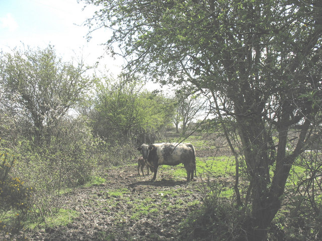
Image: © Eric Jones Taken: 2 May 2008
Although sign posted from the road and accessed by a wooden stile, this path is badly neglected being muddy underfoot and frequently blocked by vegetation. Here,it becomes a sea of mud. Image
Images are licensed for reuse under creativecommons.org/licenses/by-sa/2.0
Image Location
Latitude
53.200975
Longitude
-4.400147