Farm Ullock Mains
Introduction
The photograph on this page of Farm Ullock Mains by John Holmes as part of the Geograph project.
The Geograph project started in 2005 with the aim of publishing, organising and preserving representative images for every square kilometre of Great Britain, Ireland and the Isle of Man.

There are currently over 7.5m images from over 14,400 individuals and you can help contribute to the project by visiting https://www.geograph.org.uk
Farm Ullock Mains
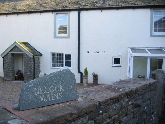
Image: © John Holmes Taken: 16 Nov 2005
The building is showing some very old writing in black.
Images are licensed for reuse under creativecommons.org/licenses/by-sa/2.0
Image Location
Latitude
54.603606
Longitude
-3.430367