Land behind bus stop, The Ridgeway, Enfield
Introduction
The photograph on this page of Land behind bus stop, The Ridgeway, Enfield by Christine Matthews as part of the Geograph project.
The Geograph project started in 2005 with the aim of publishing, organising and preserving representative images for every square kilometre of Great Britain, Ireland and the Isle of Man.

There are currently over 7.5m images from over 14,400 individuals and you can help contribute to the project by visiting https://www.geograph.org.uk
Land behind bus stop, The Ridgeway, Enfield
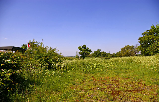
Image: © Christine Matthews Taken: 8 May 2008
This area of land is between the old Ridgeway and the new Ridgeway road which was constructed to improve the road some years ago.
Images are licensed for reuse under creativecommons.org/licenses/by-sa/2.0
Image Location
Latitude
51.681192
Longitude
-0.14854