Pasture Farm, between Wyville and Stoke Rochford
Introduction
The photograph on this page of Pasture Farm, between Wyville and Stoke Rochford by Kate Jewell as part of the Geograph project.
The Geograph project started in 2005 with the aim of publishing, organising and preserving representative images for every square kilometre of Great Britain, Ireland and the Isle of Man.

There are currently over 7.5m images from over 14,400 individuals and you can help contribute to the project by visiting https://www.geograph.org.uk
Pasture Farm, between Wyville and Stoke Rochford
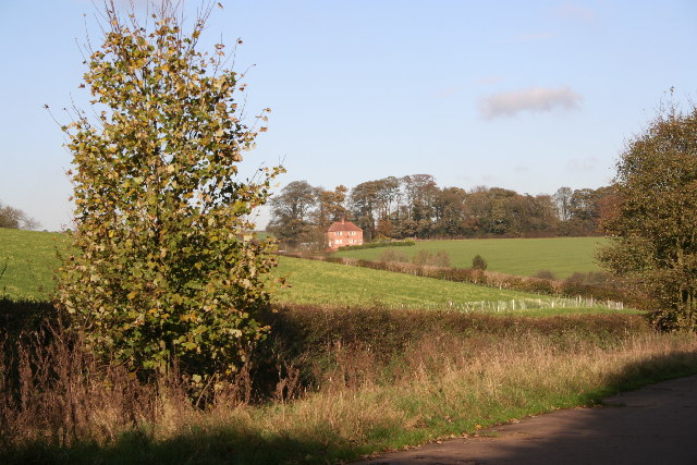
Image: © Kate Jewell Taken: 16 Nov 2005
One of several "middle of nowhere" farms in this area. Pasture Farm is reached down a private concrete farm road that follows the line of an old mineral railway.
Images are licensed for reuse under creativecommons.org/licenses/by-sa/2.0
Image Location
Latitude
52.848325
Longitude
-0.668024