The Taw valley viewed from Trenchard Farm
Introduction
The photograph on this page of The Taw valley viewed from Trenchard Farm by Philip Halling as part of the Geograph project.
The Geograph project started in 2005 with the aim of publishing, organising and preserving representative images for every square kilometre of Great Britain, Ireland and the Isle of Man.

There are currently over 7.5m images from over 14,400 individuals and you can help contribute to the project by visiting https://www.geograph.org.uk
The Taw valley viewed from Trenchard Farm
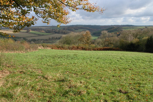
Image: © Philip Halling Taken: 13 Nov 2005
From here the Tarka Trail follows a farm track down into the valley to Chenson.
Images are licensed for reuse under creativecommons.org/licenses/by-sa/2.0
Image Location


Leaflet Map data © OpenStreetMap
Latitude
50.869742
Longitude
-3.863932