Rushcliffe Avenue
Introduction
The photograph on this page of Rushcliffe Avenue by Alan Murray-Rust as part of the Geograph project.
The Geograph project started in 2005 with the aim of publishing, organising and preserving representative images for every square kilometre of Great Britain, Ireland and the Isle of Man.

There are currently over 7.5m images from over 14,400 individuals and you can help contribute to the project by visiting https://www.geograph.org.uk
Rushcliffe Avenue
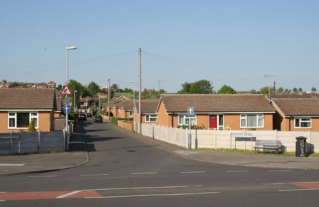
Image: © Alan Murray-Rust Taken: 8 May 2008
These modern houses follow the form of their predecessors, and for a good reason; this was an estate of post-war pre-fab bungalows. These were of course erected on concrete slab foundations, which proved sufficiently well built to reuse.
Images are licensed for reuse under creativecommons.org/licenses/by-sa/2.0
Image Location
Latitude
52.969219
Longitude
-1.095989