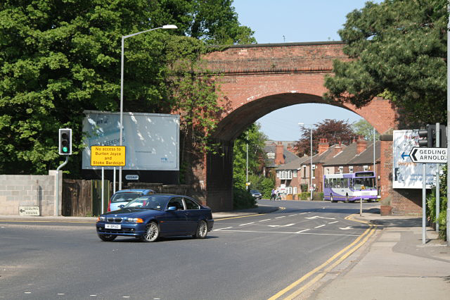
Burton Road railway bridge
Introduction
The photograph on this page of Burton Road railway bridge by Alan Murray-Rust as part of the Geograph project.
The Geograph project started in 2005 with the aim of publishing, organising and preserving representative images for every square kilometre of Great Britain, Ireland and the Isle of Man.
There are currently over 7.5m images from over 14,400 individuals and you can help contribute to the project by visiting https://www.geograph.org.uk

Image: © Alan Murray-Rust Taken: 8 May 2008
This is the basic reason why a new bypass road has been built. There was always a significant traffic flow making the right turn like this car, which blocked traffic making for Nottingham City Centre due to the short approach lanes. The bridge carries a derelict railway which latterly served Gedling Colliery; there are proposals to use the alignment for a further route of the Nottingham tram as part of a major expansion of housing development. There is a bench mark http://www.geograph.org.uk/photo/5024111 on the left hand abutment.

