United Methodist Free Church, East Cramlington
Introduction
The photograph on this page of United Methodist Free Church, East Cramlington by Alan Fearon as part of the Geograph project.
The Geograph project started in 2005 with the aim of publishing, organising and preserving representative images for every square kilometre of Great Britain, Ireland and the Isle of Man.

There are currently over 7.5m images from over 14,400 individuals and you can help contribute to the project by visiting https://www.geograph.org.uk
United Methodist Free Church, East Cramlington
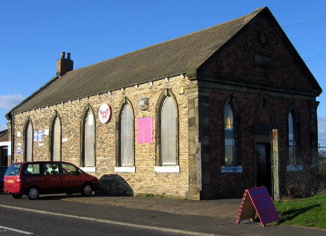
Image: © Alan Fearon Taken: 15 Nov 2005
Built in 1872 it is no longer in use as a church; but at least it has survived, unlike the pit which was on its door step.
Images are licensed for reuse under creativecommons.org/licenses/by-sa/2.0
Image Location


Leaflet Map data © OpenStreetMap
Latitude
55.078557
Longitude
-1.559843