Griffin farm
Introduction
The photograph on this page of Griffin farm by stan lewis as part of the Geograph project.
The Geograph project started in 2005 with the aim of publishing, organising and preserving representative images for every square kilometre of Great Britain, Ireland and the Isle of Man.

There are currently over 7.5m images from over 14,400 individuals and you can help contribute to the project by visiting https://www.geograph.org.uk
Griffin farm
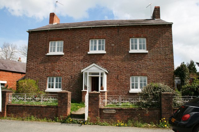
Image: © stan lewis Taken: 29 Apr 2008
Home of the Lewis family from 1865 till 1966. Was a public house till mid seventies then licence was withdrawn. More land added from Plasyolyn estate to make it a small farm. Some land made over to church to extend the graveyard late 1930's
Images are licensed for reuse under creativecommons.org/licenses/by-sa/2.0
Image Location
Latitude
52.93746
Longitude
-2.974985