Pasture south of The Twemlows
Introduction
The photograph on this page of Pasture south of The Twemlows by Espresso Addict as part of the Geograph project.
The Geograph project started in 2005 with the aim of publishing, organising and preserving representative images for every square kilometre of Great Britain, Ireland and the Isle of Man.

There are currently over 7.5m images from over 14,400 individuals and you can help contribute to the project by visiting https://www.geograph.org.uk
Pasture south of The Twemlows
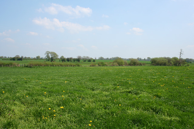
Image: © Espresso Addict Taken: 6 May 2008
South of The Twemlows the predominant agricultural usage is cattle and sheep pasture. The double fence (left and centre) hides a small stream. View from the track to The Twemlows, north east of Twemlows Cottages
Images are licensed for reuse under creativecommons.org/licenses/by-sa/2.0
Image Location
Latitude
52.92673
Longitude
-2.634836