Restricted Byway
Introduction
The photograph on this page of Restricted Byway by Mr Ignavy as part of the Geograph project.
The Geograph project started in 2005 with the aim of publishing, organising and preserving representative images for every square kilometre of Great Britain, Ireland and the Isle of Man.

There are currently over 7.5m images from over 14,400 individuals and you can help contribute to the project by visiting https://www.geograph.org.uk
Restricted Byway
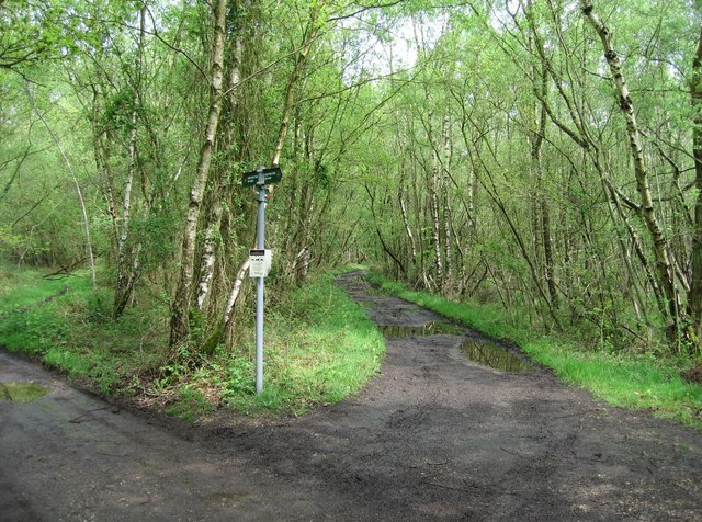
Image: © Mr Ignavy Taken: 5 May 2008
The track to the left leads to several private properties, in effect it is the start of their driveway.
Images are licensed for reuse under creativecommons.org/licenses/by-sa/2.0
Image Location
Latitude
51.416897
Longitude
-1.209045