Tudor Mansions
Introduction
The photograph on this page of Tudor Mansions by Ian Capper as part of the Geograph project.
The Geograph project started in 2005 with the aim of publishing, organising and preserving representative images for every square kilometre of Great Britain, Ireland and the Isle of Man.

There are currently over 7.5m images from over 14,400 individuals and you can help contribute to the project by visiting https://www.geograph.org.uk
Tudor Mansions
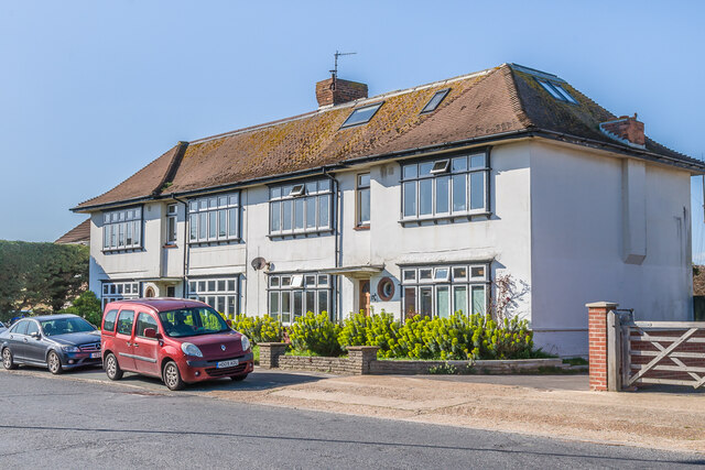
Image: © Ian Capper Taken: 17 Mar 2022
Block of four maisonettes at 11 & 13 Riverside Road. First shown in outline on the 1949 6" map, the name suggests that the building was contemporaneous with the nearby Tudor House (now the Waterside - see Image) built in the late 1930s but also shown in outline only on the same map.
Images are licensed for reuse under creativecommons.org/licenses/by-sa/2.0
Image Location
Latitude
50.829718
Longitude
-0.270858