South Wharf House and 19 - 24 Hancock Way
Introduction
The photograph on this page of South Wharf House and 19 - 24 Hancock Way by Ian Capper as part of the Geograph project.
The Geograph project started in 2005 with the aim of publishing, organising and preserving representative images for every square kilometre of Great Britain, Ireland and the Isle of Man.

There are currently over 7.5m images from over 14,400 individuals and you can help contribute to the project by visiting https://www.geograph.org.uk
South Wharf House and 19 - 24 Hancock Way
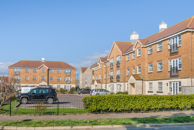
Image: © Ian Capper Taken: 17 Mar 2022
Apartment blocks on Hancock Way (South Wharf House on the right and nos 19 - 24 in the background), a cul-de-sac off Harbour Way, built in 2010 and 2005 respectively.
Images are licensed for reuse under creativecommons.org/licenses/by-sa/2.0
Image Location
Latitude
50.830168
Longitude
-0.261199