St John's Church, Burnhope
Introduction
The photograph on this page of St John's Church, Burnhope by Robert Graham as part of the Geograph project.
The Geograph project started in 2005 with the aim of publishing, organising and preserving representative images for every square kilometre of Great Britain, Ireland and the Isle of Man.

There are currently over 7.5m images from over 14,400 individuals and you can help contribute to the project by visiting https://www.geograph.org.uk
St John's Church, Burnhope
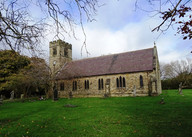
Image: © Robert Graham Taken: 29 Oct 2024
St John the Evangelist Church was opened in 1865, to serve not just Burnhope, but the surrounding villages of Craghead, South Moor and Holmside. They had all expanded in the first half of the 19th century through coal mining.
Images are licensed for reuse under creativecommons.org/licenses/by-sa/2.0
Image Location
Latitude
54.832668
Longitude
-1.699516