Lea Church bus shelter, Herefordshire
Introduction
The photograph on this page of Lea Church bus shelter, Herefordshire by Jaggery as part of the Geograph project.
The Geograph project started in 2005 with the aim of publishing, organising and preserving representative images for every square kilometre of Great Britain, Ireland and the Isle of Man.

There are currently over 7.5m images from over 14,400 individuals and you can help contribute to the project by visiting https://www.geograph.org.uk
Lea Church bus shelter, Herefordshire
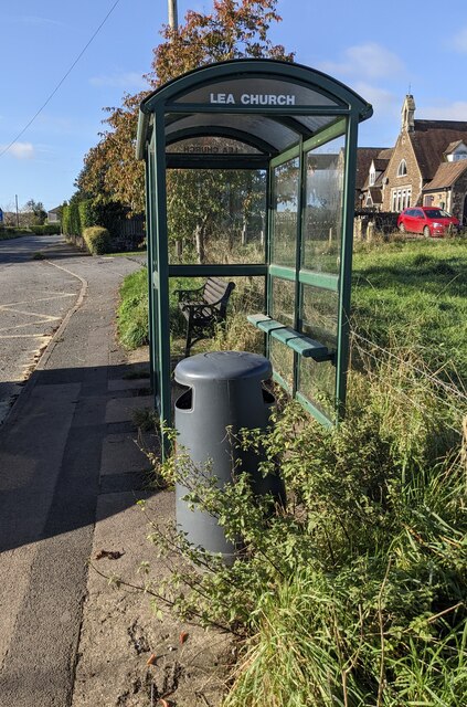
Image: © Jaggery Taken: 27 Oct 2024
Alongside the A40 opposite St John the Baptist Church. https://www.geograph.org.uk/photo/3422275 In October 2024 the shelter is alongside a stop on Stagecoach Route 33 to Gloucester and Route 746 to Cinderford.
Images are licensed for reuse under creativecommons.org/licenses/by-sa/2.0
Image Location
Latitude
51.893239
Longitude
-2.49955