Ordnance Survey OSBM Bolt
Introduction
The photograph on this page of Ordnance Survey OSBM Bolt by Peter Wood as part of the Geograph project.
The Geograph project started in 2005 with the aim of publishing, organising and preserving representative images for every square kilometre of Great Britain, Ireland and the Isle of Man.

There are currently over 7.5m images from over 14,400 individuals and you can help contribute to the project by visiting https://www.geograph.org.uk
Ordnance Survey OSBM Bolt
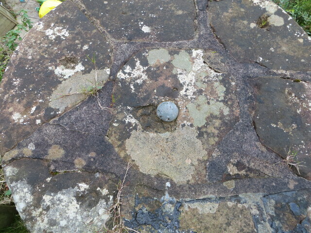
Image: © Peter Wood Taken: 30 Sep 2024
This bolt can be found on top of the parapet of Water of Ae Bridge. The recorded details give a height of 96.6634 metres above sea level. For more detail see : https://www.bench-marks.org.uk/bm232529
Images are licensed for reuse under creativecommons.org/licenses/by-sa/2.0
Image Location
Latitude
55.165321
Longitude
-3.554337