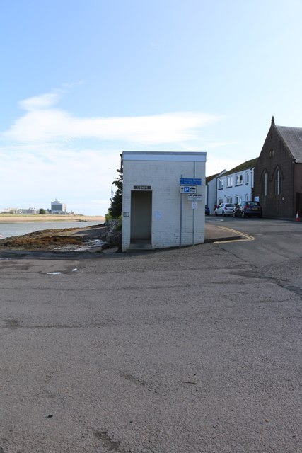
Robert Burns plaque on Ferryden Pier, Angus
Introduction
The photograph on this page of Robert Burns plaque on Ferryden Pier, Angus by Adrian Diack as part of the Geograph project.
The Geograph project started in 2005 with the aim of publishing, organising and preserving representative images for every square kilometre of Great Britain, Ireland and the Isle of Man.
There are currently over 7.5m images from over 14,400 individuals and you can help contribute to the project by visiting https://www.geograph.org.uk

Image: © Adrian Diack Taken: 22 Aug 2024
As part of the Robert Burns Trail in the Montrose area, a plaque has been fixed to the west-southwest facing wall of the public convenience on the pier. Under the heading of Ferryden Pier, the plaque reads: ‘After spending the night at the Turks Head Inn on the 12th Sept 1787, Robert Burns left Montrose with his travelling companion William Nicol, to continue his journey South to Auchmithie where they were to have breakfast. At that time, there was no bridge over the South Esk river and it is believed that Burns took the ferry boat from Montrose over to Ferryden and he would have landed at the pier. The pier still exists today, similar to what it would have been back then. Although there is no longer a ferry boat the pier is still used by the local community.’ O’er the Water to Charlie – Robert Burns Come boat me o’er, come row me oe’r, Come boat me o’er to Charlie. I’ll gie John Ross anither bawbee, To boat me oe’r to Charlie. https://www.geograph.org.uk/photo/7910302

