Cul-de-sac on Foul Lane
Introduction
The photograph on this page of Cul-de-sac on Foul Lane by Oliver Dixon as part of the Geograph project.
The Geograph project started in 2005 with the aim of publishing, organising and preserving representative images for every square kilometre of Great Britain, Ireland and the Isle of Man.

There are currently over 7.5m images from over 14,400 individuals and you can help contribute to the project by visiting https://www.geograph.org.uk
Cul-de-sac on Foul Lane
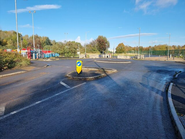
Image: © Oliver Dixon Taken: 22 Oct 2024
Although Foul Lane runs through to Butts Lane, it is blocked off to through motor traffic beyond the roundabout, whilst remaining a useful through route for cyclists. The car park for an abandoned park and ride scheme (closed 2023) lies to the right of the roundabout.
Images are licensed for reuse under creativecommons.org/licenses/by-sa/2.0
Image Location
Latitude
53.639025
Longitude
-2.968104