Church Close, Grayswood
Introduction
The photograph on this page of Church Close, Grayswood by Simon Carey as part of the Geograph project.
The Geograph project started in 2005 with the aim of publishing, organising and preserving representative images for every square kilometre of Great Britain, Ireland and the Isle of Man.

There are currently over 7.5m images from over 14,400 individuals and you can help contribute to the project by visiting https://www.geograph.org.uk
Church Close, Grayswood
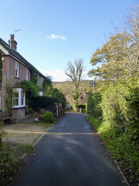
Image: © Simon Carey Taken: 27 Oct 2024
A cul de sac off Grayswood Road, the A286. The cottages on the left were built in the first decade of the 20th century.
Images are licensed for reuse under creativecommons.org/licenses/by-sa/2.0
Image Location
Latitude
51.104463
Longitude
-0.692187