Rough Field
Introduction
The photograph on this page of Rough Field by Simon Carey as part of the Geograph project.
The Geograph project started in 2005 with the aim of publishing, organising and preserving representative images for every square kilometre of Great Britain, Ireland and the Isle of Man.

There are currently over 7.5m images from over 14,400 individuals and you can help contribute to the project by visiting https://www.geograph.org.uk
Rough Field
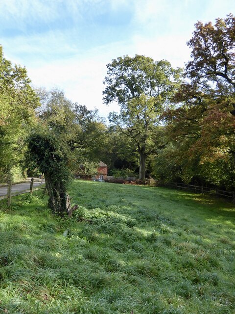
Image: © Simon Carey Taken: 27 Oct 2024
The name of the field according to Chiddingfold's 1842 tithe map which is located to the west of Jubilee Cottages. Beyond amongst the trees is the former pond bay belonging to West End Furnace, see Image and Image
Images are licensed for reuse under creativecommons.org/licenses/by-sa/2.0
Image Location
Latitude
51.101775
Longitude
-0.661269