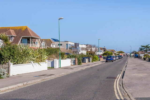
Old Fort Road
Introduction
The photograph on this page of Old Fort Road by Ian Capper as part of the Geograph project.
The Geograph project started in 2005 with the aim of publishing, organising and preserving representative images for every square kilometre of Great Britain, Ireland and the Isle of Man.
There are currently over 7.5m images from over 14,400 individuals and you can help contribute to the project by visiting https://www.geograph.org.uk

Image: © Ian Capper Taken: 17 Mar 2022
Looking along Old Fort Road. The road was first shown on the 1912 25" map as a footpath, but with housing on the south side (right hand side in this photo). Both sides had been built up by the 1930s, as shown on the 1937 25" map, but then much of the area was cleared in the Second World War to avoid the area's use as a beach-head. As a result the 1949 6" map only shows houses along the left hand side, with the right hand side (backing on to the beach) containing only empty plots. From the appearance of the houses seen here, there has been significant redevelopment since then.

