Guilden Sutton - Longster Trail
Introduction
The photograph on this page of Guilden Sutton - Longster Trail by Mike Harris as part of the Geograph project.
The Geograph project started in 2005 with the aim of publishing, organising and preserving representative images for every square kilometre of Great Britain, Ireland and the Isle of Man.

There are currently over 7.5m images from over 14,400 individuals and you can help contribute to the project by visiting https://www.geograph.org.uk
Guilden Sutton - Longster Trail
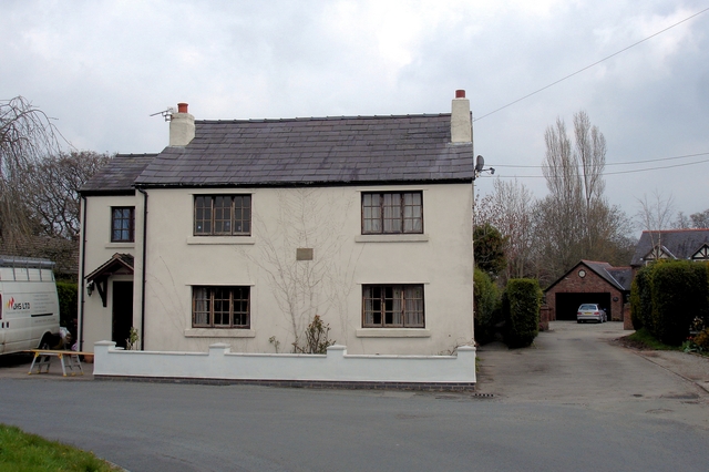
Image: © Mike Harris Taken: 16 Apr 2008
Guilden Sutton. The Longster Trail (Pipers Ash spur) runs from behind the photographer along Belle Vue Lane and then straight ahead along the narrow alley beside the white house (The Orchards - 1849) as Guilden Sutton footpath 2. The new Longster Trail extension will run off to the left along Belle Vue Lane towards the disused Mickle Trafford railway.
Images are licensed for reuse under creativecommons.org/licenses/by-sa/2.0
Image Location
Latitude
53.205147
Longitude
-2.835375