Ploughed field
Introduction
The photograph on this page of Ploughed field by Jackie Proven as part of the Geograph project.
The Geograph project started in 2005 with the aim of publishing, organising and preserving representative images for every square kilometre of Great Britain, Ireland and the Isle of Man.

There are currently over 7.5m images from over 14,400 individuals and you can help contribute to the project by visiting https://www.geograph.org.uk
Ploughed field
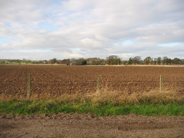
Image: © Jackie Proven Taken: 15 Nov 2005
Looking across farmland from track leading to Kilgraston School towards Ballendrick House. Stone wall following the line of the B935 marks the north edge of this square.
Images are licensed for reuse under creativecommons.org/licenses/by-sa/2.0
Image Location
Latitude
56.344397
Longitude
-3.420426