Stoke Mill Lane
Introduction
The photograph on this page of Stoke Mill Lane by Rabbi WP Thinrod as part of the Geograph project.
The Geograph project started in 2005 with the aim of publishing, organising and preserving representative images for every square kilometre of Great Britain, Ireland and the Isle of Man.

There are currently over 7.5m images from over 14,400 individuals and you can help contribute to the project by visiting https://www.geograph.org.uk
Stoke Mill Lane
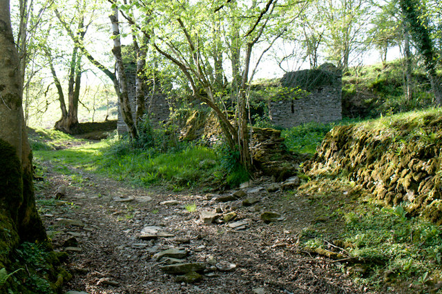
Image: © Rabbi WP Thinrod Taken: 6 May 2008
The lane starts (or finishes) at this group of derelict buildings beside a small river. Could the community have been the eponymous mill?. Although some way from the village of Stoke Rivers it seems to be the nearest source of fast flowing water.
Images are licensed for reuse under creativecommons.org/licenses/by-sa/2.0
Image Location
Latitude
51.092964
Longitude
-3.956868