Kilgraston School track
Introduction
The photograph on this page of Kilgraston School track by Jackie Proven as part of the Geograph project.
The Geograph project started in 2005 with the aim of publishing, organising and preserving representative images for every square kilometre of Great Britain, Ireland and the Isle of Man.

There are currently over 7.5m images from over 14,400 individuals and you can help contribute to the project by visiting https://www.geograph.org.uk
Kilgraston School track
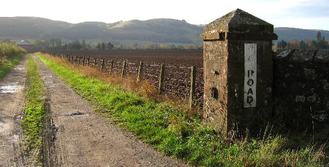
Image: © Jackie Proven Taken: 15 Nov 2005
Track leading to the back of Kilgraston School from B935 just outside Bridge of Earn. Westhall Hill in the background.
Images are licensed for reuse under creativecommons.org/licenses/by-sa/2.0
Image Location
Latitude
56.344434
Longitude
-3.417192