Malone House, Belfast
Introduction
The photograph on this page of Malone House, Belfast by Albert Bridge as part of the Geograph project.
The Geograph project started in 2005 with the aim of publishing, organising and preserving representative images for every square kilometre of Great Britain, Ireland and the Isle of Man.

There are currently over 7.5m images from over 14,400 individuals and you can help contribute to the project by visiting https://www.geograph.org.uk
Malone House, Belfast
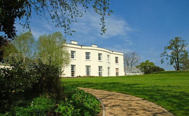
Image: © Albert Bridge Taken: 6 May 2008
See also Image The house (which includes an art gallery, restaurant and conference centre) has extensive grounds (the Barnett Demesne) open to the public. They are a mixture of formal and natural.
Images are licensed for reuse under creativecommons.org/licenses/by-sa/2.0
Image Location


Leaflet Map data © OpenStreetMap
Latitude
54.552876
Longitude
-5.958294