Cooper Bridge (over lock cut), Calder and Hebble Navigation
Introduction
The photograph on this page of Cooper Bridge (over lock cut), Calder and Hebble Navigation by Dr Neil Clifton as part of the Geograph project.
The Geograph project started in 2005 with the aim of publishing, organising and preserving representative images for every square kilometre of Great Britain, Ireland and the Isle of Man.

There are currently over 7.5m images from over 14,400 individuals and you can help contribute to the project by visiting https://www.geograph.org.uk
Cooper Bridge (over lock cut), Calder and Hebble Navigation
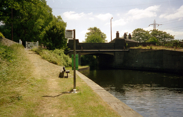
Image: © Dr Neil Clifton Taken: 25 Jul 1996
The 'real' Cooper Bridge spans the main river and is about 50 yards south-west along the A62. This much smaller bridge is across the navigable lock-cut. There was once a water-bus service here but it was not successful and was withdrawn.
Images are licensed for reuse under creativecommons.org/licenses/by-sa/2.0
Image Location


Leaflet Map data © OpenStreetMap
Latitude
53.682196
Longitude
-1.734708