Manor Farm
Introduction
The photograph on this page of Manor Farm by Derek Harper as part of the Geograph project.
The Geograph project started in 2005 with the aim of publishing, organising and preserving representative images for every square kilometre of Great Britain, Ireland and the Isle of Man.

There are currently over 7.5m images from over 14,400 individuals and you can help contribute to the project by visiting https://www.geograph.org.uk
Manor Farm
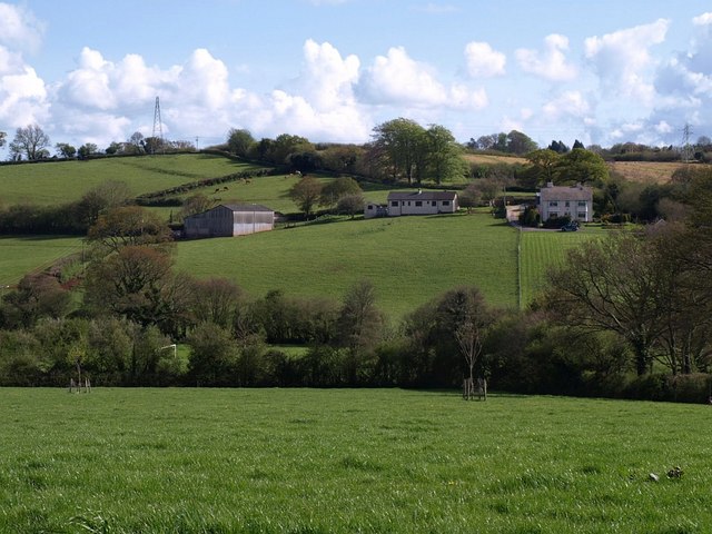
Image: © Derek Harper Taken: 1 May 2008
Looking across the valley of the Abbotskerswell stream from Vicarage road, to the farm buildings on Bitney Lane. The house on the right is shown in Image, and the easting gridline runs a couple of metres inside its garden fence.
Images are licensed for reuse under creativecommons.org/licenses/by-sa/2.0
Image Location
Latitude
50.504267
Longitude
-3.608916