Clanville - Red House Farm
Introduction
The photograph on this page of Clanville - Red House Farm by Chris Talbot as part of the Geograph project.
The Geograph project started in 2005 with the aim of publishing, organising and preserving representative images for every square kilometre of Great Britain, Ireland and the Isle of Man.

There are currently over 7.5m images from over 14,400 individuals and you can help contribute to the project by visiting https://www.geograph.org.uk
Clanville - Red House Farm
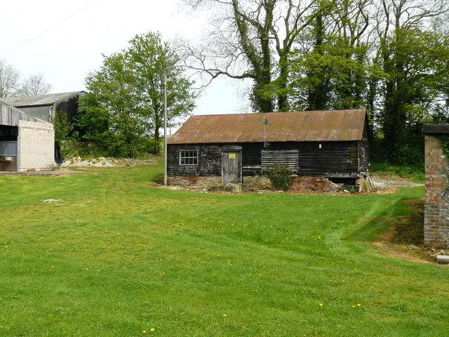
Image: © Chris Talbot Taken: 5 May 2008
This building seems to have some age to it and has what seem to be a satellite dish mounted on it, I just liked the mix of the old and the new.
Images are licensed for reuse under creativecommons.org/licenses/by-sa/2.0
Image Location
Latitude
51.254556
Longitude
-1.538545