Waterfall on the Taff upstream of the disused railway bridge
Introduction
The photograph on this page of Waterfall on the Taff upstream of the disused railway bridge by nantcoly as part of the Geograph project.
The Geograph project started in 2005 with the aim of publishing, organising and preserving representative images for every square kilometre of Great Britain, Ireland and the Isle of Man.

There are currently over 7.5m images from over 14,400 individuals and you can help contribute to the project by visiting https://www.geograph.org.uk
Waterfall on the Taff upstream of the disused railway bridge
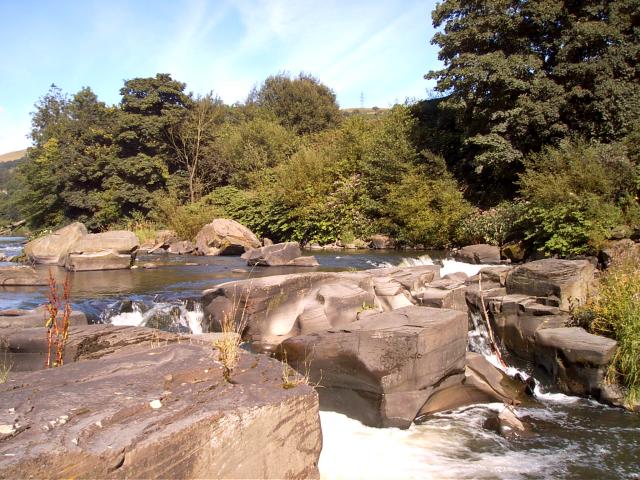
Image: © nantcoly Taken: 17 Jul 2005
View is of a waterfall on the river Taff north of the centre of Pontypridd and is used for paddling and picnicking in the summer.
Images are licensed for reuse under creativecommons.org/licenses/by-sa/2.0
Image Location
Latitude
51.611154
Longitude
-3.332912