Looking along A27 Botley Road from Scrag Hill, North Baddesley
Introduction
The photograph on this page of Looking along A27 Botley Road from Scrag Hill, North Baddesley by Peter Facey as part of the Geograph project.
The Geograph project started in 2005 with the aim of publishing, organising and preserving representative images for every square kilometre of Great Britain, Ireland and the Isle of Man.

There are currently over 7.5m images from over 14,400 individuals and you can help contribute to the project by visiting https://www.geograph.org.uk
Looking along A27 Botley Road from Scrag Hill, North Baddesley
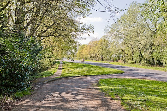
Image: © Peter Facey Taken: 2 May 2008
The road in the foreground runs for a few hundred metres parallel to the modern day A27. Possibly it is a remnant resulting from widening and straightening of the A27.
Images are licensed for reuse under creativecommons.org/licenses/by-sa/2.0
Image Location
Latitude
50.983166
Longitude
-1.453201