Platelayers' Hut
Introduction
The photograph on this page of Platelayers' Hut by Anne Burgess as part of the Geograph project.
The Geograph project started in 2005 with the aim of publishing, organising and preserving representative images for every square kilometre of Great Britain, Ireland and the Isle of Man.

There are currently over 7.5m images from over 14,400 individuals and you can help contribute to the project by visiting https://www.geograph.org.uk
Platelayers' Hut
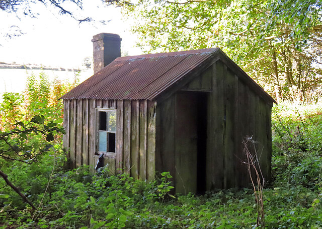
Image: © Anne Burgess Taken: 3 Oct 2024
This is an example of the standard wooden huts, several of which survive alongside the former railway line.
Images are licensed for reuse under creativecommons.org/licenses/by-sa/2.0
Image Location
Latitude
57.414684
Longitude
-2.113847