Confluences
Introduction
The photograph on this page of Confluences by Anne Burgess as part of the Geograph project.
The Geograph project started in 2005 with the aim of publishing, organising and preserving representative images for every square kilometre of Great Britain, Ireland and the Isle of Man.

There are currently over 7.5m images from over 14,400 individuals and you can help contribute to the project by visiting https://www.geograph.org.uk
Confluences
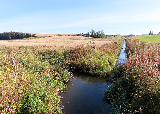
Image: © Anne Burgess Taken: 3 Oct 2024
The burn straight ahead was formed by the confluence of the White Burn and the Burn of Fortree, and on the left is the Ebrie Burn. The view is from the footbridge over the combined burns.
Images are licensed for reuse under creativecommons.org/licenses/by-sa/2.0
Image Location
Latitude
57.448101
Longitude
-2.112119