Stanhope Burn near the Hall
Introduction
The photograph on this page of Stanhope Burn near the Hall by Robert Graham as part of the Geograph project.
The Geograph project started in 2005 with the aim of publishing, organising and preserving representative images for every square kilometre of Great Britain, Ireland and the Isle of Man.

There are currently over 7.5m images from over 14,400 individuals and you can help contribute to the project by visiting https://www.geograph.org.uk
Stanhope Burn near the Hall
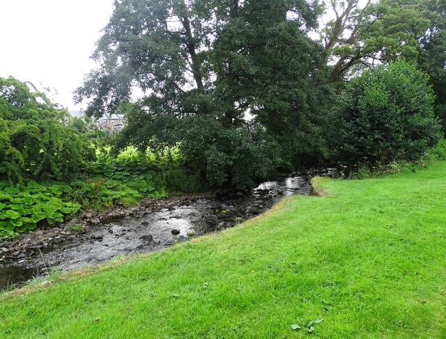
Image: © Robert Graham Taken: 13 Aug 2024
This rocky burn flows down from the moors on Stanhope Common and into the River Wear a short way from here. It originally powered Stanhope Hall Mill just upstream from here.
Images are licensed for reuse under creativecommons.org/licenses/by-sa/2.0
Image Location


Leaflet Map data © OpenStreetMap
Latitude
54.749823
Longitude
-2.016902